Field Operations
Operations in Action
From disaster zones to infrastructure corridors — Dronimagination on the ground and in the air.
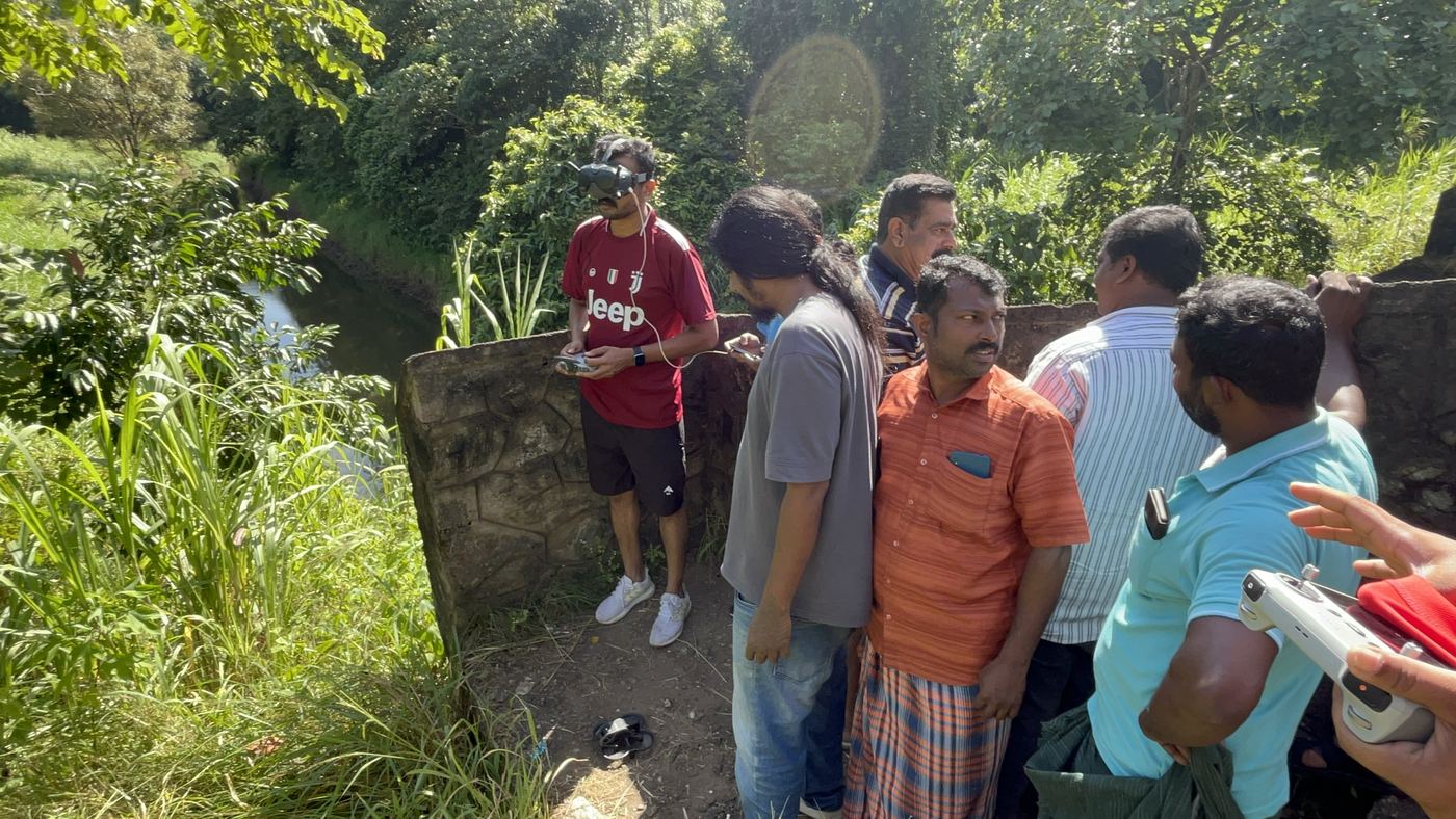
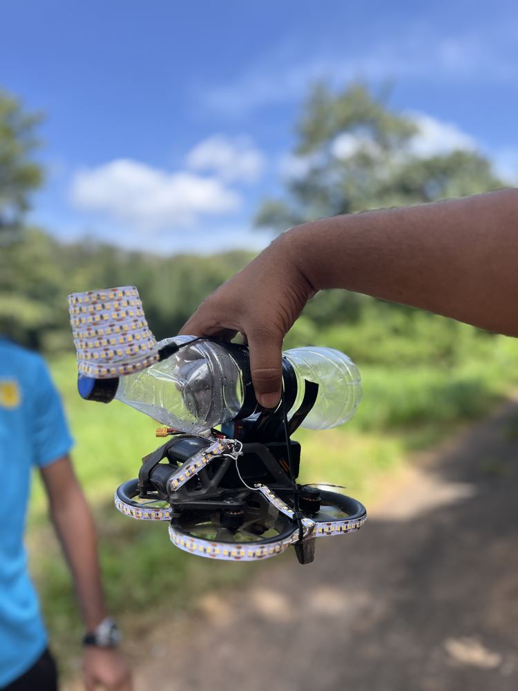
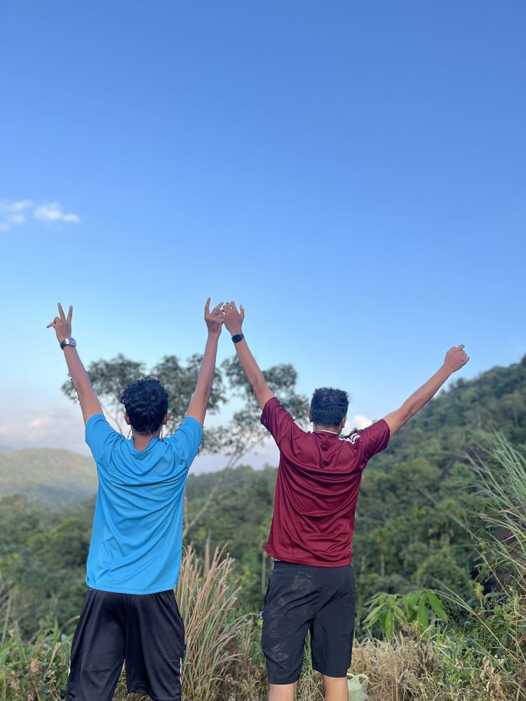
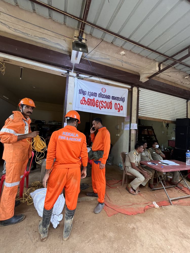
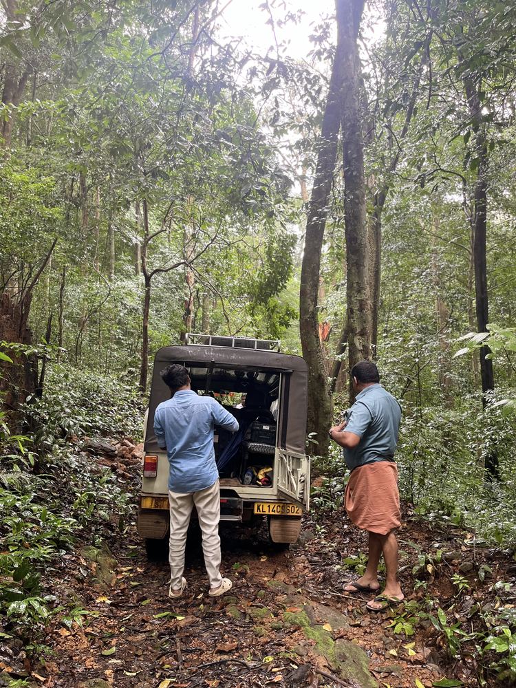
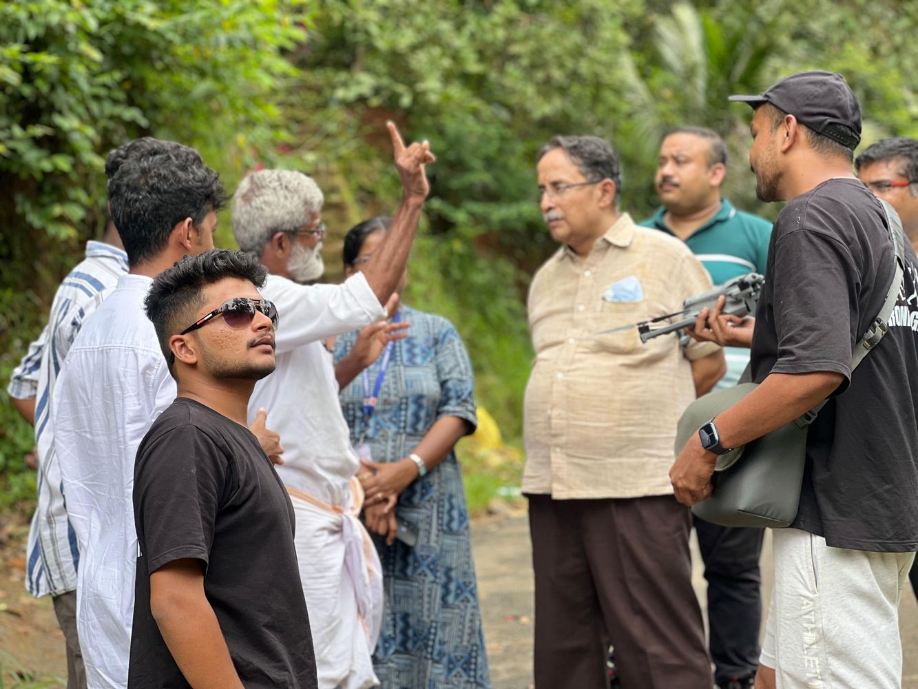
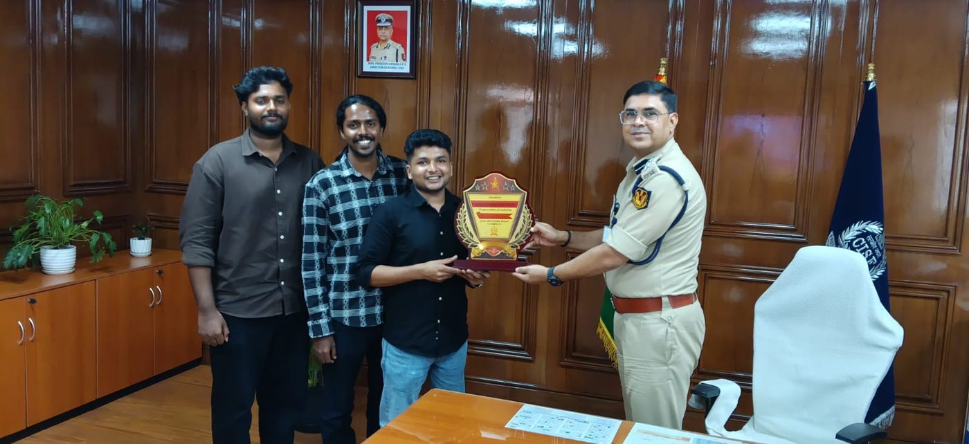
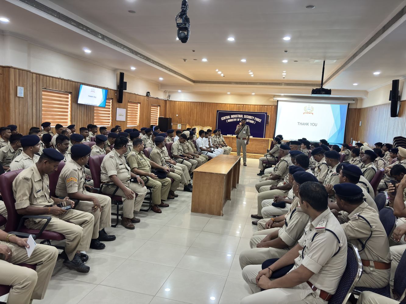
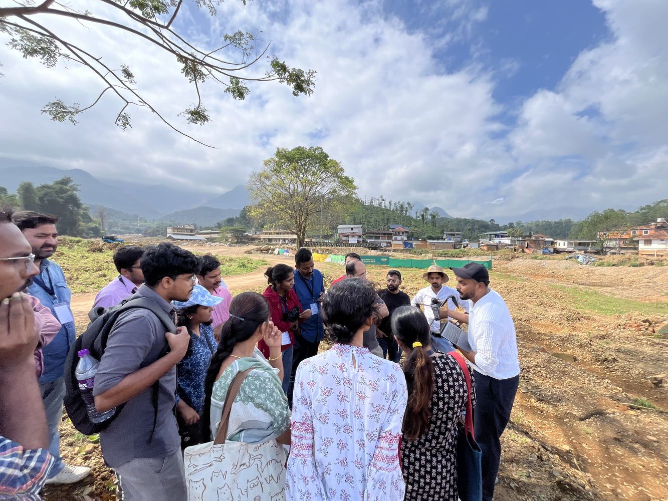
Dronimagination in the news — disaster response missions, government projects, national recognition, and our work captured on camera.
From disaster zones to infrastructure corridors — Dronimagination on the ground and in the air.
From disaster response to government-scale digital twin deployments — our work is making national headlines.
Rapid aerial mapping and offline rescue GIS app delivered to Indian Army & NDRF for search and rescue operations across the disaster zone. Dronimagination's team was among the first civilian drone operators on the ground.
Dronimagination completes 2000+ sq km photogrammetric survey for local self-government departments' GIS-based Local Governance portal — mapping buildings, roads, utilities and property boundaries for municipal digital twin.
DIPP138166 recognition for innovation in drone technology and geospatial services. Company also receives UN Foundation appreciation through Help NGO collaboration for humanitarian drone operations.
Joint research initiative using drone-captured video for AI-driven vehicle counting, traffic flow modelling, and urban mobility analytics. One of the first drone-AI research partnerships in Kerala.
Dronimagination builds a web-accessible LiDAR-based 3D digital twin for one of Kerala's most critical power infrastructure assets — enabling remote measurement and asset management for Kerala's power utility engineers.
High-resolution terrain model and hazard zonation portal for the Vilangad landslide area in Kozhikode, built for Kerala's disaster management department — enabling district authorities to pre-position resources and assess damage from a browser-based GIS interface.
Dronimagination's drone team responded to the Anchuruli rescue mission, providing aerial intelligence, real-time surveillance, and support for rescue coordination. Operations appreciated by Help NGO and district administration.
Watch our drone surveys, training sessions, project deployments, and live coverage from the field.