From intelligent asset management platforms to flood modelling and digital twins — Dronimagination combines drone data capture with custom GIS development to deliver actionable intelligence for government, utilities, and enterprise.
Every solution begins with drone data capture and ends with a custom, deployed GIS platform — built to your workflows, not ours.
Multi-layer property ownership mapping with GIS attribute databases. Integrated with revenue records, mutation workflows, and field survey data for local government bodies and revenue departments.
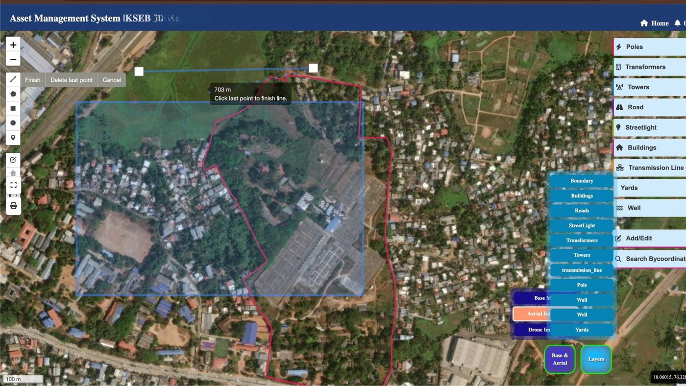
Revenue / LSGDTrack, inspect, and maintain physical assets — poles, towers, pipelines, substations — via drone-captured GIS layers with automated alert systems and inspection scheduling dashboards.
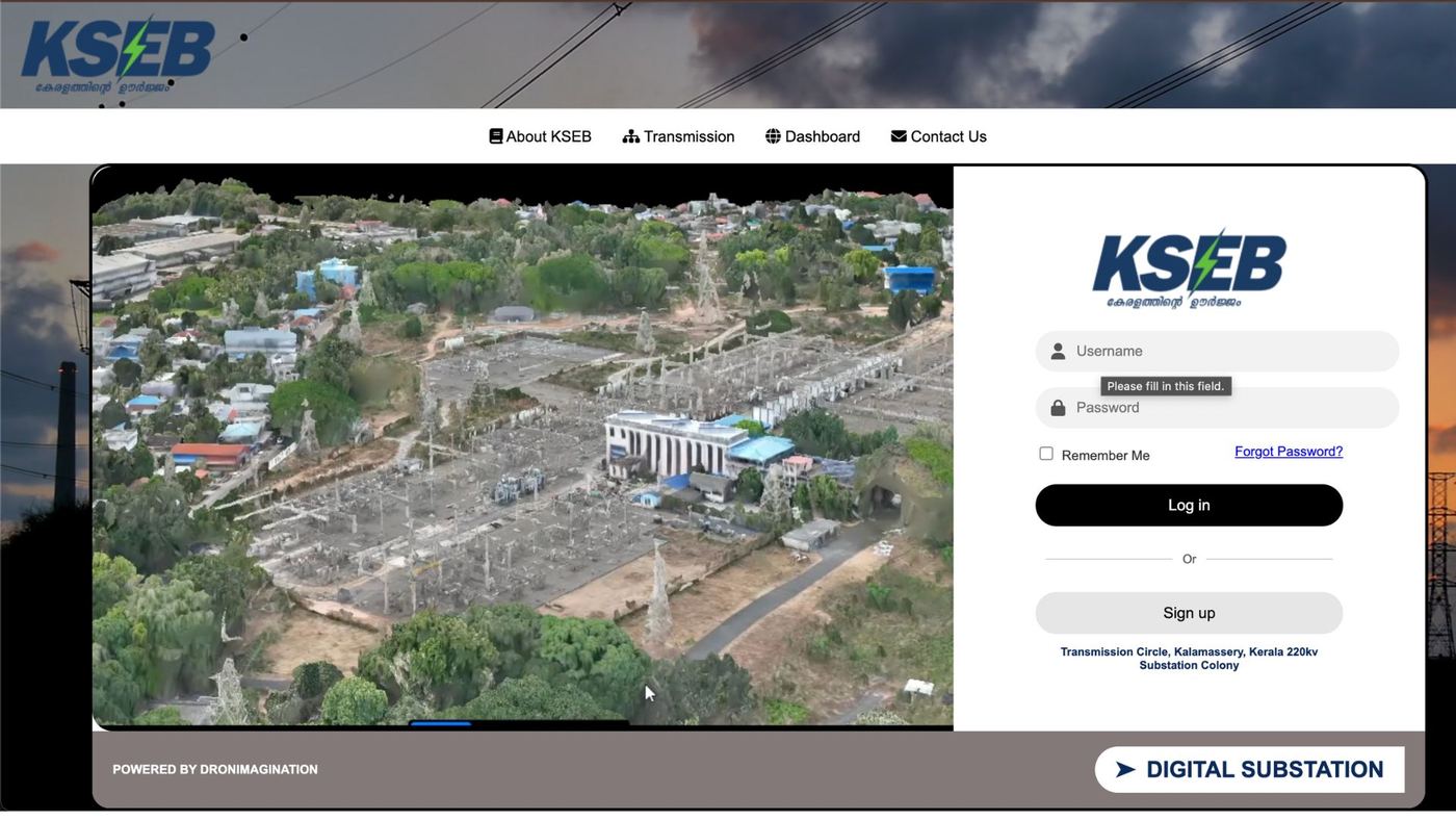
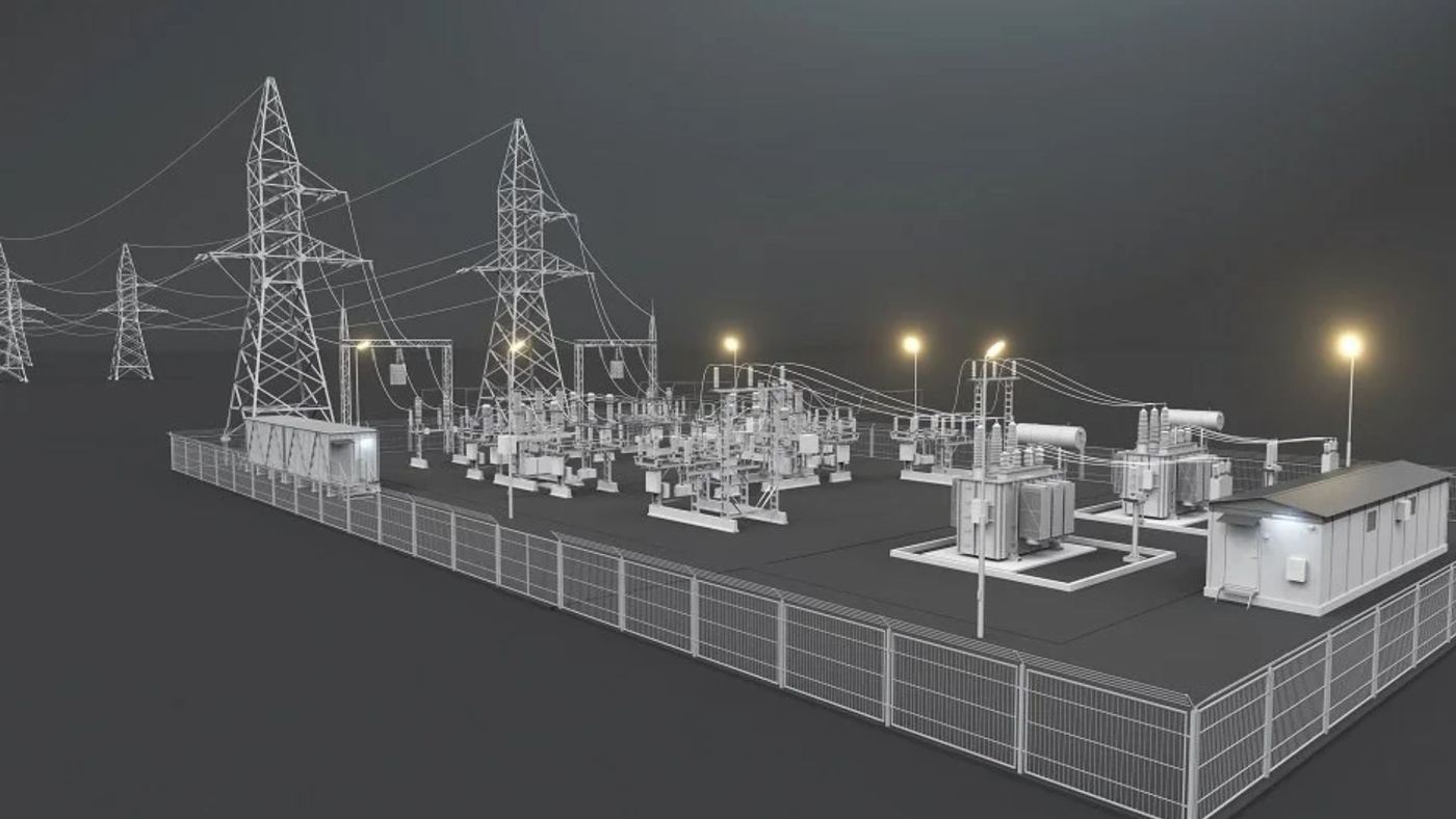
Utilities / InfrastructureHigh-resolution 3D mapping and inspection of electrical substations. Thermal imaging integration for fault detection. Aligned with Kerala's power utility workflows and equipment standards.
Power UtilitiesProgress monitoring of construction sites using time-series drone data. Volume tracking, deviation analysis from design models, and reporting dashboards for project managers and clients.
Construction / EPCReal-time drone-GIS response system deployed during disasters. Used during the Wayanad Landslide 2024 — offline maps, zone classification, rescue routing, and live coordination for NDRF and District Administration.
Disaster ResponseLiDAR-derived DEM-based flood simulation and inundation mapping. Risk zone delineation for urban and rural areas. Integration with Kerala's disaster management workflows and KSDMA frameworks.
Hydrology / KSDMADrone thermal imaging for solar panel inspection, wind turbine analysis, and power line monitoring. Fault detection with georeferenced defect reports and GIS dashboards for asset owners.
Solar / Wind / GridHigh-resolution 3D documentation of heritage structures and archaeological sites using photogrammetry. Point cloud and mesh outputs for restoration planning and archival record creation.
Heritage / ASIInteractive 3D replicas of infrastructure built from drone survey data. LoD1/2/3 models for smart city planning, construction monitoring, and infrastructure simulation. Ground-truthed with field-verified GIS attribute layers.
Smart City / UrbanDronimagination's GIS solutions begin with drone data capture and end with custom GIS platform delivery — a single-vendor approach that eliminates data translation loss between survey and software teams.
All platforms are built on ArcGIS Enterprise or open-source GIS stacks based on client requirements — with seamless integration into existing data systems.
ESRI / Enterprise
Open Source Stack
Dronimagination develops integrated Smart City GIS platforms combining drone data, IoT sensors, satellite imagery, and real-time dashboards. Custom solutions for Municipal Corporations, Smart City SPVs, and Urban Development Authorities. Contact us for a reference architecture and annex documentation.
Real deployments. Real results. GIS platforms built and handed over — not just planned.
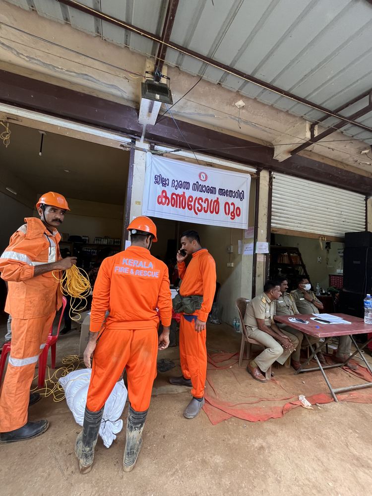
Offline rescue maps, GIS zone classification, and coordination dashboards deployed within 24 hours for NDRF, Indian Army, and Wayanad District Administration. Connectivity-deprived environment operation using offline tile servers and field-synced databases.
Multi-substation asset management GIS for a major Kerala utility. Thermal inspection data integrated with GIS asset records across 200+ substations. Fault detection reports georeferenced and linked to asset maintenance workflows.
Government bodies, utilities, research institutions, and NGOs — trusted across Kerala and India.
Tell us your sector, use case, and current data situation — we'll respond within 24 hours with a platform architecture recommendation.