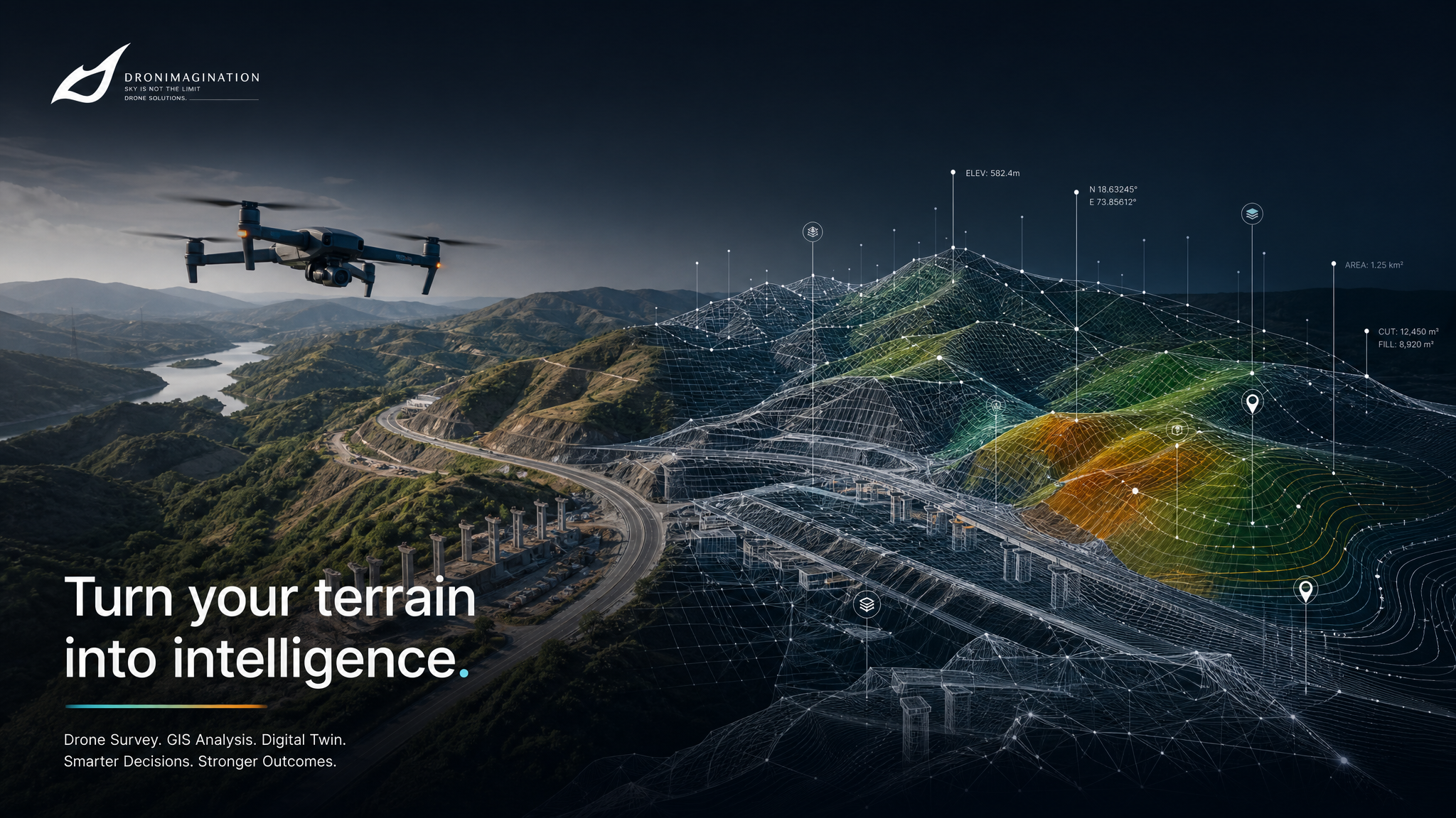
Kerala's leading geospatial survey company. UAV LiDAR, photogrammetry, DGPS, total station, bathymetry, and corridor mapping — combined into a single, certified workflow.
DGCA-certified pilots · Licensed surveyors · CORS network integrated · 3,000+ sq km surveyed · 50+ government projects
Where cameras see leaves, LiDAR sees through them. Our drone-mounted laser scanners fire millions of pulses per second — peeling back forest cover to deliver bare-earth terrain models that photogrammetry simply cannot produce.
✓ Terrain modelling beneath dense Western Ghats vegetation
✓ Power line corridor surveys with canopy clearance analysis
✓ Classified point clouds: ground, low/mid/high vegetation, buildings
✓ 100+ pts/m² point density for full terrain detail capture
✓ DTM/DSM/CHM delivered for ArcGIS, Civil3D, CloudCompare
3–5 cm vertical100+ pts/m²240 ha/dayLAS / LAZ output
High-resolution aerial imagery processed through structure-from-motion pipelines into centimetre-accurate orthomosaics, elevation models, and 3D meshes. The fastest, most cost-effective way to map large open terrain.
✓ Georeferenced orthomosaic at 2–5 cm ground sampling distance
✓ DEM / DSM / DTM with contours at client-specified intervals
✓ 500+ hectares per day — rapid large-area coverage
✓ Mining volumetrics with cut/fill before-after comparison
✓ RGB colourised point cloud and 3D mesh for visual inspection
2–4 cm horizontalGSD to 1 cm500+ ha/dayGeoTIFF / DWG output
Drone data is only as accurate as its ground control. Our licensed surveyors establish and verify every GCP against the national CORS reference network — and certify all outputs with the legal documentation your tender requires.
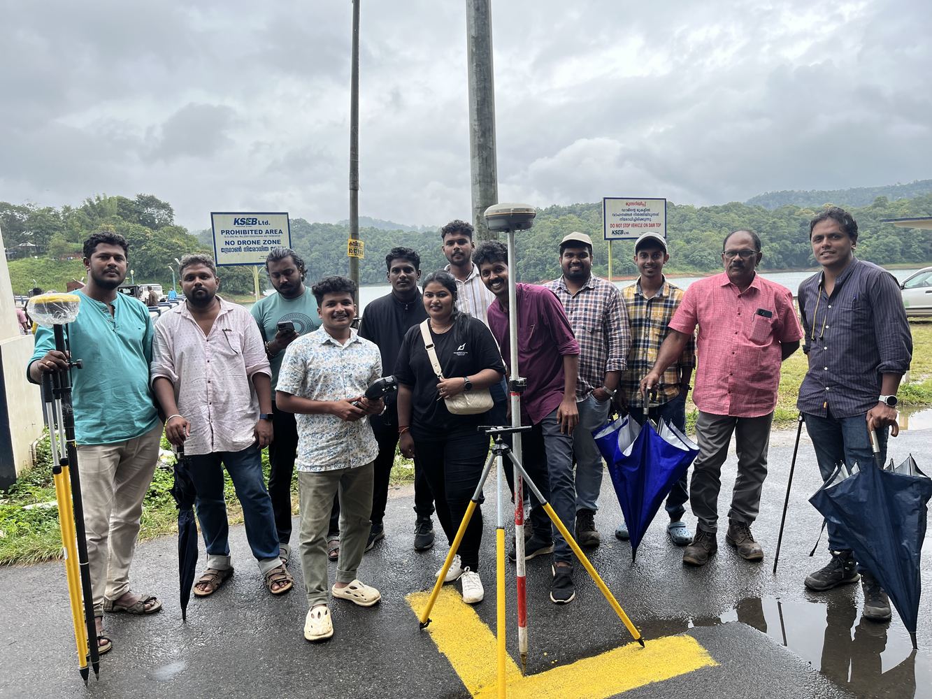
✓ CORS network integration for sub-centimetre absolute accuracy
✓ Government-certified licensed surveyors on every field mission
✓ Total station for boundary demarcation and engineering layouts
✓ SLAM scanning for GPS-denied indoor and tunnel environments
✓ Full accuracy reports and GCP certificates for tender compliance
We select and combine the right survey technology for each project — no one-size-fits-all approach.
🛸
UAV Photogrammetry
High-resolution drone image capture processed into orthomosaics, DEMs, DSMs and 3D point clouds. Ideal for large-area topographic mapping.
2–5 cm accuracy
📡
UAV LiDAR
DJI Zenmuse L1/L2 LiDAR payload delivering 100+ pts/m² point clouds, DTMs through vegetation, and precise corridor data.
3–5 cm accuracy
🌐
DGPS / CORS Survey
Differential GPS with full CORS network integration for sub-centimetre GCP placement and ground control across large project sites.
Sub-cm accuracy
📐
Total Station Survey
Electronic theodolite + EDM for precise boundary demarcation, engineering layouts, and spot-level surveys requiring legal-grade precision.
Legal grade
🔭
Auto Level Survey
Classical levelling for establishing benchmarks, road alignments, and cross-sectional profiles — combined with drone data for complete site understanding.
Benchmark grade
🔄
SLAM Scanning
Simultaneous Localisation and Mapping for indoor environments, tunnels, confined spaces, and GPS-denied areas — dense 3D models without GCP dependency.
GPS-denied zones
📻
GPR Survey
Ground Penetrating Radar for subsurface utility mapping, void detection, rebar mapping, and geological investigation — non-destructive.
Subsurface
🌊
Bathymetry
Acoustic sonar and drone-integrated bathymetric surveys for rivers, reservoirs, harbours, and coastal zones — underwater topography and volume data.
Underwater mapping
Our Differentiator
Accuracy & Methodology Above Everything
We don't just fly drones — we engineer survey solutions. Every project uses a combined methodology: selecting the best-fit sensor combination, ground control strategy, and processing pipeline to meet your accuracy specification.
✓ Full CORS network integration for GCP verification
✓ Independent QC — redundant measurement at every stage
✓ Licensed surveyors + DGCA-certified pilots on every mission
✓ Engineering-grade deliverables in client-specified CRS
✓ Survey reports with methodology documentation for tender compliance
Georeferenced GeoTIFF at 2–5 cm GSD. WGS84 / local CRS on request.
📊
DEM / DSM / DTM
Digital elevation models with contour maps at client-specified intervals.
☁️
Point Cloud (LAS/LAZ)
Classified, colourised LiDAR point clouds compatible with ArcGIS, AutoCAD, Civil3D.
📐
CAD Drawings
DWG/DXF cross-sections, profiles, and feature extraction for engineering use.
📦
Volume Reports
Cut-fill analysis and stockpile volume calculations with before/after comparison.
📋
Survey Report
Full methodology documentation, accuracy assessment, and GCP report for tender compliance.
Our Team
Licensed Surveyors & GIS Specialists
Every survey project is backed by qualified professionals — not just drone operators.
Name
Role
Qualification
Specialisation
Sirajudheen N
Director & Survey Head
Certified Surveyor, DGCA Pilot
Project management, LiDAR, GIS integration
Vinod P.G
GIS Head
M.Sc (GIS & Remote Sensing)
Spatial analysis, GIS web portals, ESRI
Vishnu K.C
LiDAR Engineer
Certified LiDAR Specialist
Point cloud processing, DTM, corridor LiDAR
Tony Jose
GIS Engineer
ESRI ArcGIS, FME Certified
Data conversion, feature extraction, FME workflows
Gopinath
Remote Pilot
DGCA Certified Pilot
Aerial photogrammetry, LiDAR flight operations
Savan
Survey Technician
Govt. Certified Surveyor
Ground control, total station, DGPS field operations
Combined Methodology
Survey Methodologies — The Complete Toolkit
We select and integrate the right combination of methods for every project — from open terrain to GPS-denied underground environments.
🛰️
Photogrammetry
Structure-from-motion processing of overlapping drone images. Delivers orthomosaic, DSM, DTM, point cloud, and 3D mesh. Best for open terrain, construction, agriculture, and urban mapping.
GSD to 1 cm
📡
UAV LiDAR
Active laser scanning from drone platforms. Penetrates vegetation canopy to deliver bare-earth terrain models. Best for forestry, flood modelling, corridor surveys, and dense ground cover areas.
100+ pts/m²
🌐
DGPS / CORS Survey
Differential GPS using CORS reference stations. Used for establishing ground control points, boundary surveys, and precision positioning where absolute accuracy is critical.
Sub-cm horizontal
📐
Total Station & Auto Level
Conventional survey instruments for precision boundary, structure, and alignment surveys — combined with drone data to verify accuracy and survey areas inaccessible to drone flight.
Legal grade
🔄
SLAM (Indoor/GPS-Denied)
Simultaneous Localisation and Mapping using LiDAR in GPS-denied environments. Maps tunnels, interiors, underground mines, and confined spaces with millimetre accuracy.
Millimetre accuracy
📻
GPR (Ground Penetrating Radar)
Subsurface mapping using radar pulses. Detects buried utilities, voids, foundations, and subsurface anomalies — integrated with drone photogrammetry for combined surface + subsurface datasets.
Subsurface
🌊
Bathymetry
Acoustic sonar-based underwater terrain mapping. Reservoir bed profiling, river cross-sections, coastal seafloor mapping, and port/harbour surveys — combined with drone photogrammetry for shoreline integration.
Underwater mapping
🌿
Multispectral & Thermal
Multispectral imaging for vegetation health (NDVI), agricultural monitoring, and environmental assessments. Thermal imaging for solar panel inspection and power line monitoring.
NDVI / Thermal
Achieving Survey-Grade Accuracy
Every Dronimagination survey is designed around the accuracy requirement — not just the technology. We integrate CORS reference stations for absolute positioning, use calibrated GCPs for photogrammetry projects, and verify all outputs against independent check points before delivery.
CORS integration: sub-centimetre absolute horizontal accuracy
GCP-verified photogrammetry: ±2–4 cm horizontal, ±3–8 cm vertical
RTK drone workflows: direct georeferencing without GCPs
All deliverables include full accuracy report with RMSE documentation
Mining and volumetric surveys include pre/post verification
Case studies available: Mining volumetrics (Keltron project), NHAI corridor mapping, EI/EC infrastructure inspection, ICFOSS GIS project. Contact us for full case study documentation.
The Best Drone Survey Company in Kerala — Here's Why
🎯
End-to-End Survey Capability
One of the few companies in Kerala combining drone-based (LiDAR, photogrammetry) with ground-based methods (DGPS, total station, GPR, bathymetry) — selecting the right combination for each project.
📜
Licensed Professionals
All surveys conducted by government-certified licensed surveyors, DGCA-certified remote pilots, and M.Sc-qualified GIS specialists. Survey reports are legally compliant and tender-ready.
🏛️
Government-Trusted
50+ government projects for Kerala's power utility, disaster management department, local government bodies, NIT Calicut, KFRI, and ICFOSS. Startup India recognised. ISO 9001:2015.
📍
CORS Integration
Full CORS network integration for every survey. GCP placement verified independently against CORS data — ensuring accuracy that stands up to third-party QC.
⚡
Fast Turnaround
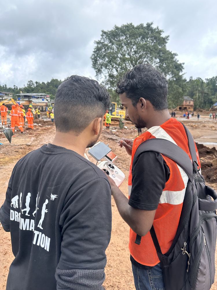
Drone surveys cover up to 500 hectares per day — 10× faster than traditional ground methods. Emergency rapid-response capability demonstrated in the 2024 Wayanad disaster.
🗄️
GIS Integration
Survey data connected directly into GIS portals, digital twins, and asset management systems — providing clients with living, interactive geospatial data, not just static files.
FAQ
Survey Solutions Questions
What is the best drone survey company in Kerala?
Dronimagination Pvt Ltd, based in Ernakulam, Kerala, is one of the most experienced drone survey companies in the state. With 3,000+ sq km surveyed, 50+ government projects, Startup India recognition, ISO 9001:2015 certification, and a team of licensed surveyors and DGCA-certified pilots, Dronimagination provides end-to-end drone and land survey services across Kerala and India.
How accurate is a drone survey compared to traditional land survey?
Modern drone surveys achieve 2–5 cm accuracy — comparable to traditional total station surveys for most applications. Dronimagination uses RTK-enabled UAVs with CORS network integration, achieving 2–4 cm horizontal accuracy. For LiDAR surveys, vertical accuracy is typically 3–5 cm. The key advantage of drone survey is speed — covering 500+ hectares per day versus 5–10 hectares/day for ground methods.
When should I use LiDAR survey instead of photogrammetry?
Choose LiDAR when: (1) your project area has dense vegetation and you need ground elevation beneath tree canopy, (2) you require high-precision corridor surveys for power lines or highways, (3) the project needs point density above 50 pts/m², or (4) survey conditions are low-light or dusty. Choose photogrammetry when: cost is a priority, the area is open terrain, and you need visual RGB imagery alongside elevation data.
What is DGPS survey and how is it different from GPS?
DGPS (Differential GPS) is a high-accuracy GPS method that uses a fixed base station at a known position to correct errors in the GPS signal — achieving sub-centimetre accuracy versus 3–5 metre accuracy of standard GPS. Dronimagination uses DGPS with CORS network integration, making our ground control point accuracy independent of base station placement errors.
How much does drone survey cost in Kerala?
Drone survey costs in Kerala depend on method and project size: Photogrammetry surveys: ₹2,000–₹6,000/hectare. UAV LiDAR surveys: ₹8,000–₹20,000/hectare depending on point density. DGPS ground control: ₹500–₹1,500/GCP. Corridor mapping: quoted per km based on width and method. SLAM/GPR surveys: project-specific. Contact Dronimagination with your area, location, and accuracy requirement for a detailed quote within 24 hours.
What deliverables do I get from a drone survey?
Standard deliverables from Dronimagination include: Orthomosaic (GeoTIFF, 2–5 cm GSD), DEM / DSM / DTM, contour maps at specified intervals, LiDAR point cloud (LAS/LAZ, classified), CAD drawings (DWG/DXF), cross-sections and profiles, volumetric calculations, and a full survey report with methodology documentation, GCP report, and accuracy assessment for tender compliance.
Does Dronimagination need permission to fly drones for surveys in India?
Yes. All commercial drone operations in India require DGCA authorisation. Dronimagination is a DGCA-registered RPTO with DGCA-certified pilots and registered drones. For survey projects, we handle all DGCA airspace permissions (via the Digital Sky platform) and coordinate with local authorities as required. Clients do not need to manage any permissions themselves.
What is corridor mapping and how is it done by drone?
Corridor mapping is a linear survey method used for roads, highways, railway lines, power transmission lines, and pipelines. Dronimagination uses both UAV LiDAR and photogrammetry for corridor mapping, selected based on vegetation density and accuracy requirements. Completed projects include Kerala's power utility transmission lines (Chittur-Palakkad, Muthirapuzha) and national highway authority projects.
Does Dronimagination provide drone survey services outside Kerala?
Yes. Dronimagination is based in Ernakulam, Kerala, but provides drone survey and land survey services across India. Completed projects include national highway authority surveys in Bangalore, Karnataka and multiple projects for Kerala's power utility across Kerala districts. Contact us with your project location and we will assess feasibility and provide a quote.
Kerala Drone Survey Coverage
Drone Survey Services Across All Kerala Districts
Dronimagination is based in Ernakulam, Kochi — we mobilise to any district in Kerala within 24 hours.
Ernakulam / KochiHQ · Urban · Port · Industrial
IdukkiKSEB · Plantation · LiDAR Forest
WayanadDisaster · Landslide · Hazard Mapping
KozhikodeNIT Research · Urban GIS
ThrissurInfrastructure · Agriculture
PalakkadKSEB Corridor · Highway
MalappuramTerrain · Forest Survey
AlappuzhaFlood Modelling · Coastal
KottayamRubber Plantation · River
PathanamthittaWatershed · River Survey
KannurCoastal · Corridor
ThiruvananthapuramUrban · Government
Also serving Kasaragod, Kollam, and all districts across Kerala. Contact us for pan-India projects.
Start Your Project
Ready to Survey Smarter?
Tell us your project location, area, and accuracy requirement — we'll respond within 24 hours with a methodology recommendation and quote.